Multifunctional Arealregistration System developed for Styrelsen for Grøn Arealomlægning og Vandmiljø.
A comprehensive tool for planning, managing, and implementing Denmark’s national land retirement efforts. MARS is developed for the Danish Agency for Green Land Conversion and Aquatic Environment (SGAV).
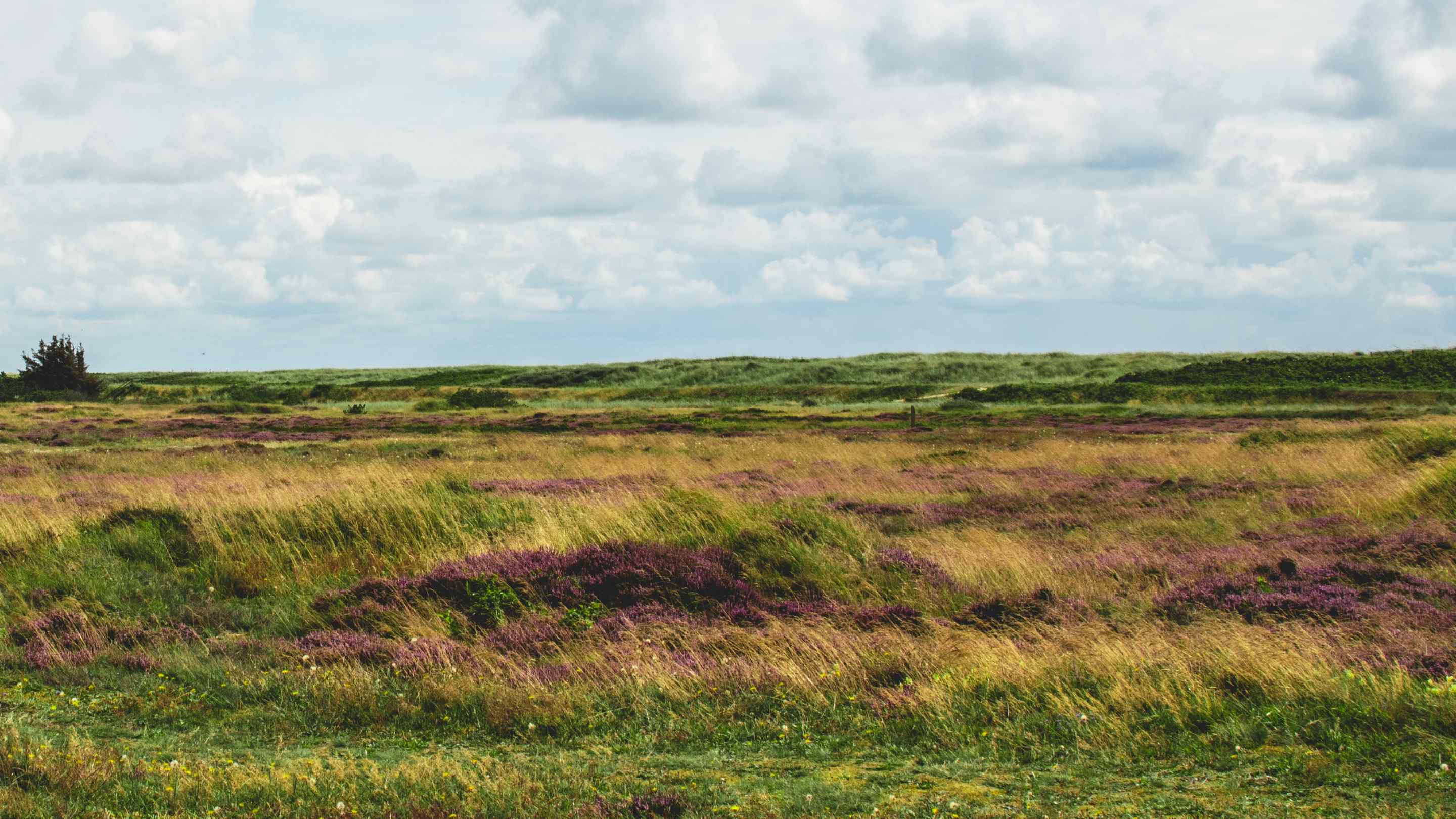
MARS stands for Multifunctional Area Registration System. It is a web-based tool designed to sketch, plan, and support decisions on future land use changes.
MARS brings together and supports efforts on areas that contribute to achieving national goals for nitrogen reduction, retirement of carbon-rich lowland soils, and afforestation.
With MARS, local tripartite partners, land retirement consultants, coastal water councils, and landowners have access to a single platform for planning and coordinating concrete land retirement initiatives in rural areas.
Read more about MARS on SGAV's website (Danish).
As a private user
As a private user (e.g. landowner, farmer or similar), you have free access to MARS' screening tool. The tool allows you to assess a given area and get information on its potential for land retirement projects. Screenings can also be shared with others.
As a local green tripartite and municipalities
As a local tripartite group, municipal employee responsible for land use conversion, or land retirement consultant, you can use the tool to develop your land conversion plans – in collaboration with relevant stakeholders.
MARS provides an overview of applied, planned, and drafted projects.
Danmarks Miljøportal is a public partnership owned by the state, municipalities, and regions, aimed at supporting digital environmental management in Denmark.
This website has been translated with the assistance of AI. Please note that errors or inconsistencies may occur in the translation.
