A user-friendly platform to get an overview of land use, nature protection and regulations in Denmark.
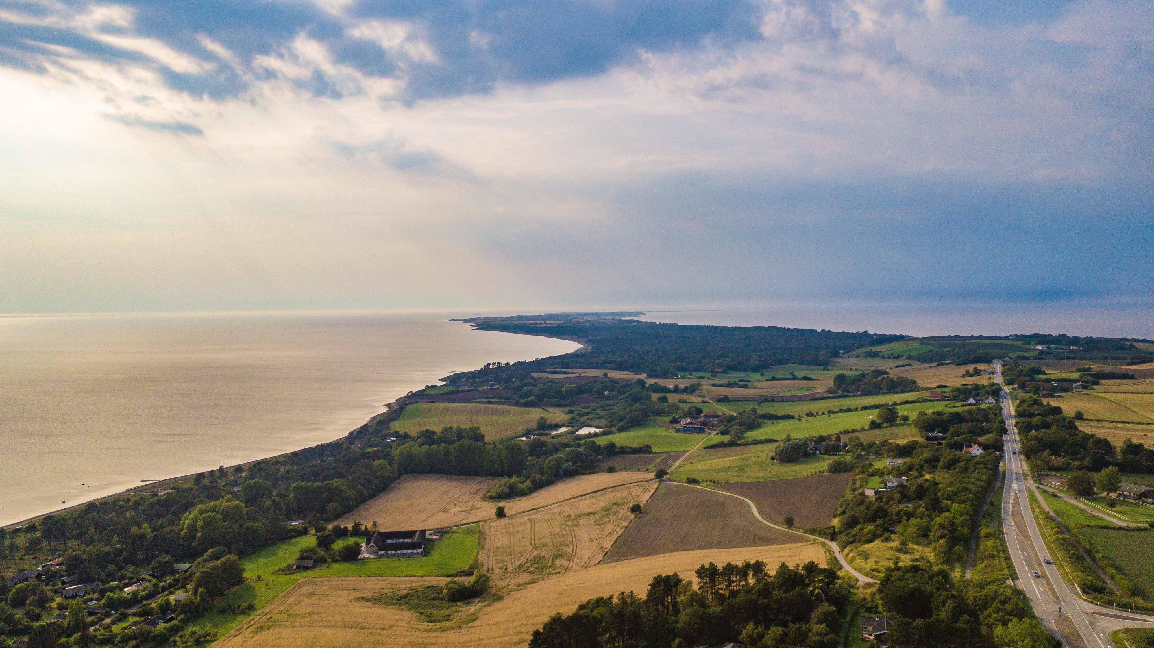
Danmarks Arealinformation by Danmarks Miljøportal is an exhibition platform that offers access to a wide range of datasets and over 1100 map layers on land use, protected natural areas and legislative environmental protectionregulations in Denmark. The platform enables authorities, businesses and citizens to visualise and analyse map layers on ownership, land use and environmental protection.
Danmarks Arealinformation is a web-based tool that presents geographical information about areas in Denmark. The system offers detailed map layers that include everything from property boundaries and cadastral data to protected areas and low emission zones. Users can add, remove, and analyze map layers, and perform overlap analysis to understand which restrictions and regulations apply to specific areas.
For municipalities and public institutions
Danmarks Arealinformation is an important tool for municipalities that want to manage land use and urban planning. The system makes it possible to visualize property boundaries and see which environmental and protection regulations apply in different areas. This helps to ensure that planning and projects comply with the necessary regulatory requirements. For example, a municipality can use Danmarks Arealinformation to identify whether an area is protected or subject to special nature protection rules before starting a construction project.
For property developers and planners
The platform provides access to detailed information about property boundaries, zone status, and other relevant data needed for development projects. With Danmarks Arealinformation, you can see which rules apply to construction projects and analyse any restrictions on land use. A property developer can use the platform to check whether there are availability restrictions on a plot of land before preparing a plan for the development of the property.
For nature managers and environmental organisations
Danmarks Arealinformation makes it possible for nature managers to gain detailed insight into protected natural areas and legislative restrictions. The system helps to identify which areas need to be preserved and which environmental considerations need to be taken into account when managing natural resources. For example, a nature manager can use the platform to analyse which protection zones exist in a forest area and how this affects future management plans.

What you will find on Danmarks Arealinformation
Seneste nyt fra Danmarks Arealinformation
5/5 - 2025
New data in Datakataloget: Klimaskovfonden's projects30/4 - 2025
New data in Datakataloget: Digital Forest Map 2022For udviklere og samarbejdspartnere
Danmarks Miljøportal is a public partnership owned by the state, municipalities, and regions, aimed at supporting digital environmental management in Denmark.
This website has been translated with the assistance of AI. Please note that errors or inconsistencies may occur in the translation.